
Rocky Mount Neighbors by Block
Public sources answer narrow questions about the parcels around a Rocky Mount address. Edgecombe GIS can locate a parcel and adjoining geometry. The tax roll can identify the current tax owner and deed reference. A historical directory can provide a dated address-to-householder clue, while city association resources describe civic context. None of those sources produces a verified current-neighbor roster. Treat each row below as a record trail with a distinct scope.
| Source | What it shows about a block | Access |
|---|---|---|
| Edgecombe GIS | Address, parcel PIN, owner, deed reference, map geometry, and select or identify tools | Online map service with CSV export |
| Nash Tax Search | Owner, address, parcel ID, PIN, advanced, and tax-bill search routes | Online portal; confirm current fields with Tax Office |
| County deed index | Grantor, grantee, book and page, legal description, and a dated instrument trail | Nash or Edgecombe Register of Deeds route |
| NCSBE voter search | Registration and precinct context for a named person | Name-first state lookup and county files |
| Directory and association sources | Historical householder clue or civic neighborhood context | Braswell, DigitalNC, and city association pages |
Rocky Mount crosses Nash and Edgecombe counties. A postal-city address can be within the municipal area while its parcel or deed trail routes to Nashville or Tarboro. Find the county through the parcel, PIN, legal description, or GIS result before relying on a county record.
Map Rocky Mount Neighbor Parcels
Edgecombe County GIS includes search controls for owner name, parcel PIN, street address, deed reference, and account number. It also offers select, identify, measure, draw, print, map-extent filtering, and CSV export. Begin with the known address and identify its parcel. Then use the actual parcel shapes to identify surrounding parcels. A nearby point on a map can be across the street, separated by an alley, or part of a different subdivision, so visual closeness alone is not enough.
- Search the known property address, parcel PIN, owner, deed reference, or account number in the county tool.
- Open the selected parcel and note its property address, parcel identifier, county, deed book and page, and legal description.
- Select or identify the parcels that share a boundary, then record each parcel separately.
- Check each parcel in the assessor and deed index rather than inferring a relationship from proximity.
- Keep the result as a parcel table with source date and role labels, not a list of presumed occupants.
The flow is address to parcel, parcel geometry to adjacent parcels, adjacent parcel to county record, then county record to a dated ownership or deed clue. A full named-street chain belongs on the Rocky Mount street directory lookup; the block method stays focused on the immediate parcels.
Rocky Mount Neighbors and Parcel Geometry
In Edgecombe County, the official PIN example uses a MAP-BLK-LOT-LH pattern, such as 4755-78-9876-00. The number is physical-location based in North Carolina State Plane coordinates, not a sequential code for a street or person. The final segment can distinguish land and improvements from certain leased-land or ownership-question entries. Do not apply that structure to Nash, because an equivalent Nash format was not confirmed in the research.
Read the legal description alongside the map. Lot, block, subdivision, acreage, adjoining owners, and metes-and-bounds language can preserve continuity when a street name or number changes. A parcel map is strong for geometry and current county mapping, but it is not a legal survey or evidence that a person is currently there.
Note: Across the street is not always adjacent, so use parcel boundaries and legal descriptions instead of a simple radius or visual impression.
Rocky Mount Neighbors Across Counties
The city sits on both sides of a county split. Nash County's Register of Deeds is in Nashville, and the Edgecombe Register of Deeds is in Tarboro. Historic planning material identifies the railroad tracks as the official county boundary beginning in 1871, a local detail that can explain why a block or older property reference shifts county custody. Postal labels do not settle the question.
On the Nash side, the tax portal provides owner, address, parcel ID, PIN, advanced, and tax-bill routes. On the Edgecombe side, the parcel search provides property address, current owner, deed book and page, and map or PIN fields. Compare the county GIS polygon with the assessor result before moving to a deed or clerk file. The two-county check is especially important near rail and Tar River geography.
Rocky Mount Neighbors Associations
Rocky Mount's Neighborhood Associations page says many neighborhoods are organized and that association presidents meet with the City Manager's Office and Human Relations representatives. It promises brochures with amenities, meeting place and time, officers, and a contact person, but the reviewed page does not publish a complete live roster. Use a published association channel to ask about participation or meetings instead of treating an old contact list as current.
| City coordination | Neighborhood associations work with City Manager's Office and Human Relations representatives. |
|---|---|
| Dated inventory | A 2022-era city plan names groups including Around the Y, Battleboro, Meadowbrook, South Rocky Mount, Villa Place, Wedgewood, West Haven, and Williford. |
| Current contact | Verify with the association's published channel; the historic plan is not a live contact directory. |
| City contact | Human Relations identifies neighborhood associations as a community-relations program and lists 252-972-1181. |
| Membership data | No official current HOA or neighborhood-wide membership database was located. |
The city association page is shown below. It supports neighborhood context and an official point of contact, not a publication of private member information.
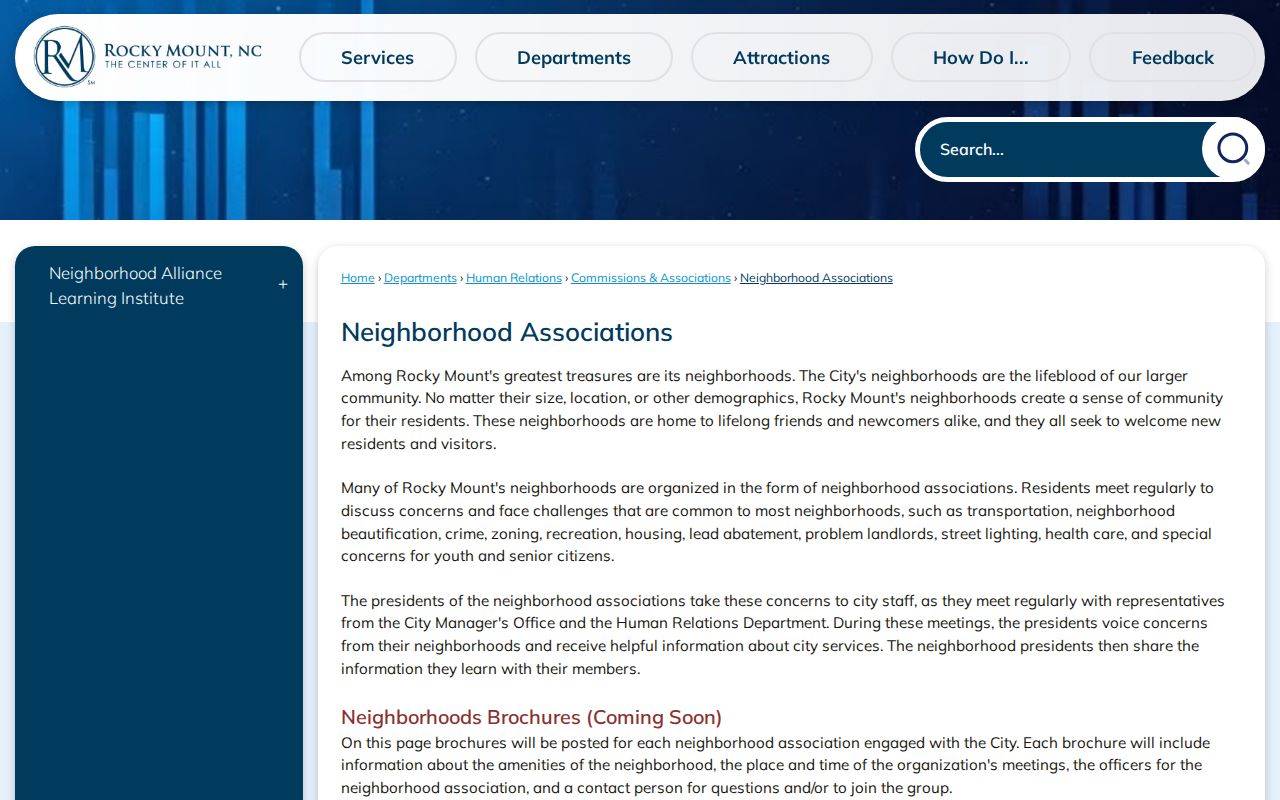
The named organizations can be used as search variants for a block, but each association's current boundary, contact, and activity should be verified before relying on it.
Rocky Mount's commissions and associations page places Neighborhood Associations within the city's Human Relations structure. It is an additional official route when a block search needs civic context.
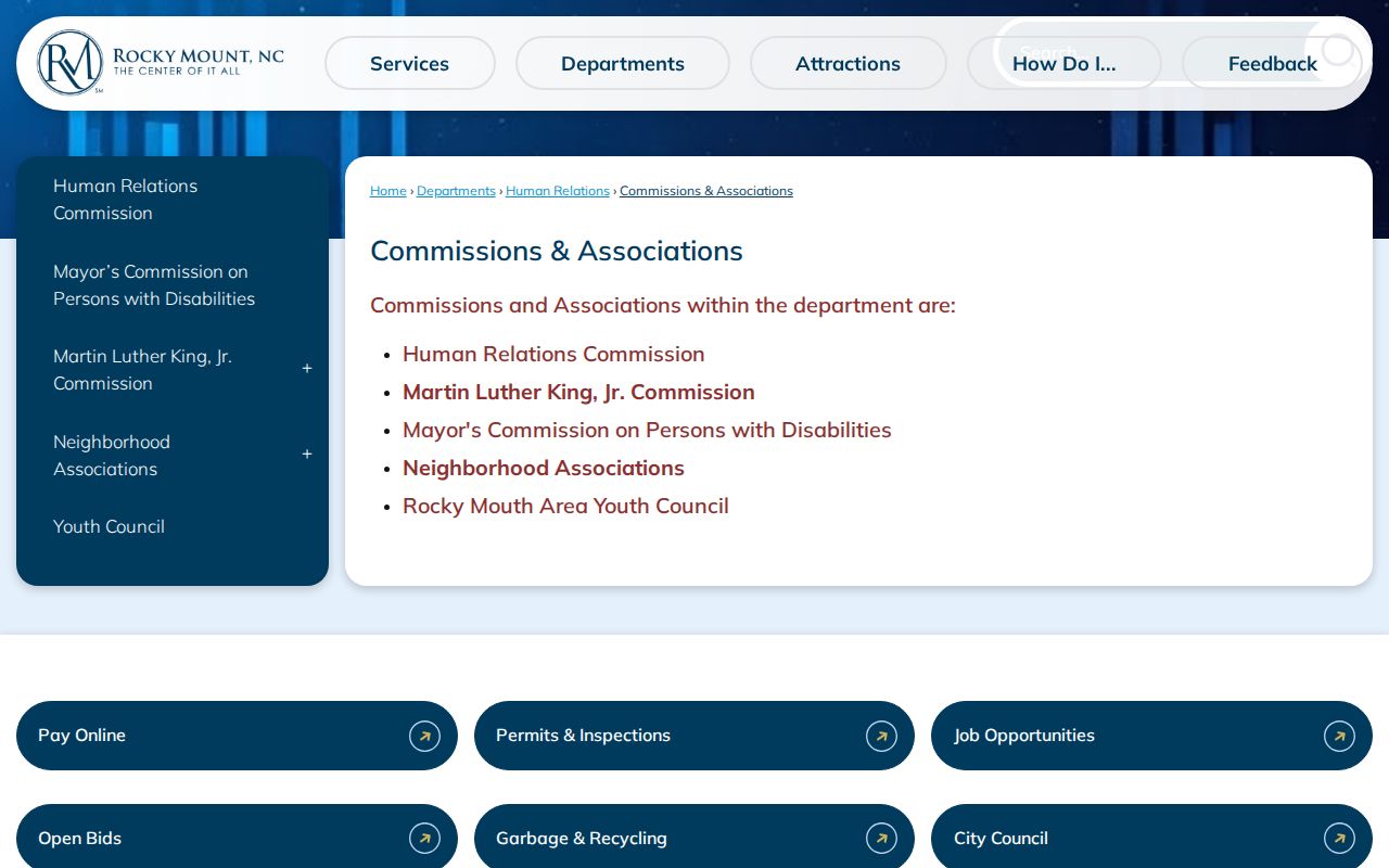
The city structure helps identify the appropriate public contact point, while association membership and personal contact details remain outside this block-research method.
Rocky Mount Neighbors and Historic Blocks
Villa Place offers a useful geographic example. City historic material describes it as roughly nine blocks, laid out in 1891, with a west half platted in 1913 and many houses dating from 1900 through the 1940s. Machaven dates to 1908. These landmarks and neighborhood dates can help orient a property-history search, but they do not define a current association or identify the people around an address.
The 1963 directory also names Englewood, Meadowbrook Park, and Swelton Heights. Search those historic variants when a modern street name produces no directory result. For earlier built-environment context, the Library of Congress holds a four-sheet 1896 Rocky Mount Sanborn map. It can show street and building context before current parcel IDs, without serving as an ownership or neighbor list.
Rocky Mount Neighbors and Precincts
The NCSBE voter lookup is name-first. It accepts first and last name, optional middle initial, optional year of birth, optional county, and a required status choice. A result can provide registration, precinct, district, polling-place, and voting-history context, but it has no street-only mode. A block-level view would require a lawful county-file route or a narrow public-record request, not a reconstructed list from individual searches.
Nash's Rocky Mount precinct list includes P16 through P24 in the local area. The 2026 page identifies Hunter Hill as new and says the Sharpsburg assignment will change later in the year. Use precincts for date-sensitive electoral geography only. Protected fields include full or partial Social Security numbers, full date of birth, driver-license information, email, photos, ID copies, and protected addresses.
Nash County's polling-place list is shown below. It is a current election resource, so an old address clue needs the election year alongside the precinct name.
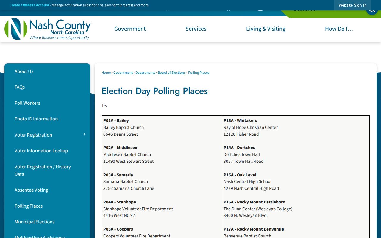
Precinct information can explain local election geography, but it should never be recast as a permanent block roster or a substitute for parcel geometry.
Rocky Mount Neighbors Source Comparison
Official records and commercial neighbor tools work differently. County portals provide a source, field labels, and a custodian that can correct an error. Commercial categories may combine old property, court, voter, business, phone, and address data into a person profile. That can create stale addresses, duplicate names, role confusion, and inferred relationships. Use the official record to check the narrow fact needed and preserve the date and source.
| Source category | Useful for | Key limit |
|---|---|---|
| Official parcel, GIS, or deed record | Parcel geometry, owner role, deed reference, and county custody | Owner and parcel data do not prove current occupancy. |
| Official voter or city source | Dated election or civic-record context | Protected fields and role limits remain in force. |
| Commercial people-data category | General lead that needs verification | May conflate names, dates, addresses, and relationships. |
For a public-record error, contact the county tax, GIS, Register of Deeds, Board of Elections, City Clerk, or other office that holds the record. A public record can be corrected or explained at its source; it should not be expanded into a block-wide personal profile.
Protect Rocky Mount Neighbor Privacy
Some important information does not belong in a neighbor lookup. Parcel ownership, tax mailing, and a voter registration address are distinct roles. Utility, delivery, protected voter, juvenile, adoption, sealed-court, and Address Confidentiality Program information have separate limits. North Carolina's ACP protects a participant's actual address and telephone through a substitute address. A missing or substituted address is a legal boundary, not a research problem to solve.
Lawful use. Use Rocky Mount neighbors records for personal, civic, family-history, or property context. Do not use any record to watch, harass, intimidate, or harm a person.
North Carolina's Public Records Law gives access to existing public records, but it does not require an agency to create a new block compilation. A targeted request should identify the county, address, parcel or PIN, date range, and existing record series. Preserve redactions and use the office that holds the record when verification is needed.